
Need professional aerial support for a project, survey, patrol, inspection route, or aerial observation mission? MaxFlight Helicopter Services provides helicopter flight support for commercial and government clients who need a clear, reliable view from above.
We provide aerial observation, survey support, patrol flights, LiDAR support, and aerial photography missions throughout Orlando, Kissimmee, Davenport, Celebration, Clermont, Central Florida, and surrounding areas.
Our team can help coordinate custom flight paths based on your project goals, location, schedule, and mission needs.
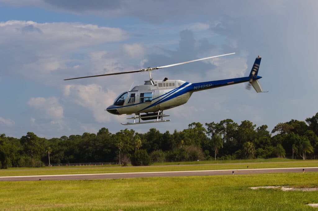
From aerial observation and patrol to survey support and photography missions, MaxFlight delivers reliable aerial solutions for professional project needs. Our experienced pilots understand the importance of safety, communication, timing, and mission planning when working with commercial clients, agencies, contractors, and project teams.
Whether you need visibility over a job site, land area, infrastructure route, property, or project location, MaxFlight helps make every flight efficient, focused, and project-ready.
MaxFlight provides aerial observation flights for clients who need a broader perspective of land, properties, routes, job sites, and project areas. Helicopter observation allows teams to view large or difficult-to-access areas quickly and clearly, helping support planning, documentation, bidding, and project review.
This service may be useful for construction teams, landowners, developers, municipal projects, infrastructure review, and commercial site observation.
Helicopter support can help survey teams and project managers observe land, routes, site conditions, and surrounding areas from above. With a helicopter’s ability to fly closer and slower than many fixed-wing options, MaxFlight can support missions that require detailed visibility and flexible aerial positioning.
Survey support flights may assist with land review, route observation, environmental visibility, project planning, and documentation needs.
MaxFlight can provide helicopter support for patrol flights, route monitoring, and technical aerial missions, including LiDAR-related support. These flights can be customized based on your project scope, route, equipment needs, and mission goals.
Patrol and technical support flights may be used for property monitoring, infrastructure corridors, utility routes, environmental areas, large land parcels, and government or commercial project needs.
We’d love to chat about your next flight! Whether you have questions or want help booking the perfect experience, give us a call, we’re happy to help.


